


| By: Paul S. Cilwa | Viewed: 4/27/2024 Occurred: 3/18/2024 |
Page Views: 190 | |
| Topics: #Arizona #PicachoPeak #PinalCounty | |||
| In which I finally visit the iconic mountain of south central Arizona. | |||
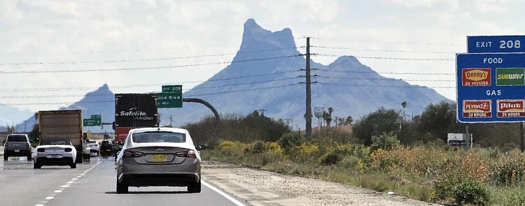
Anyone traveling by ground between Phoenix and Tucson can't miss the unique outline of Picacho Peak. It's so distinctive, that every time I've seen it, I wanted to stop and check it out—but never had time.
Until today, when I drove there specifically for that purpose!
It was a month ago, at the beginning of February, that I happened to be driving back from Tuscon when I encountered Picacho with the sub suspended over it. It wasn't yet sunset, but the sun was low enough to give it the feel of impending night. Or endless day. Or doom. Or something.
In any case, seeing it that way really inspired me to take time out of my busy retirement and maybe even try to take my aging hips on a short hike.
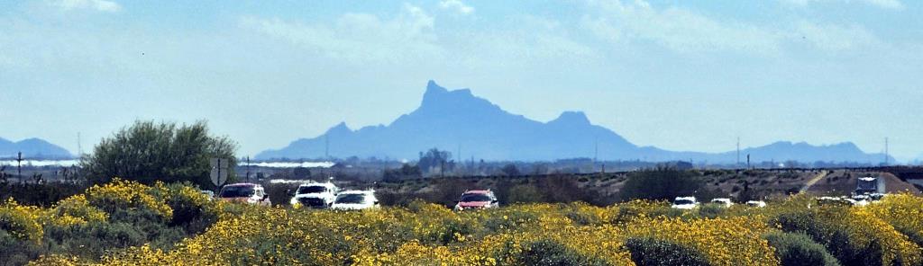
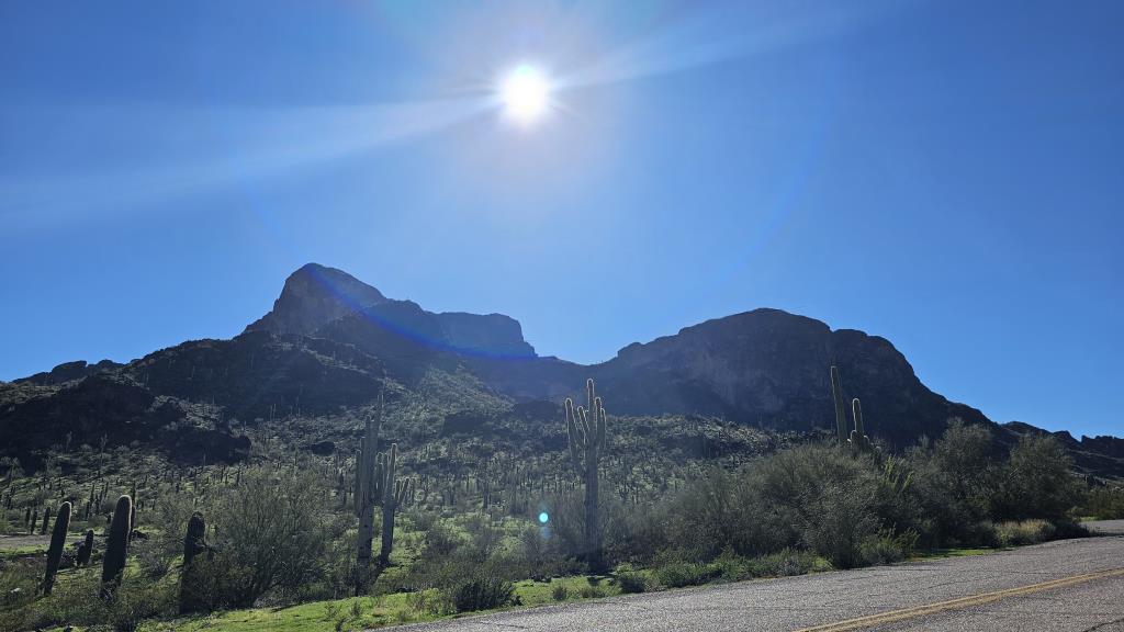
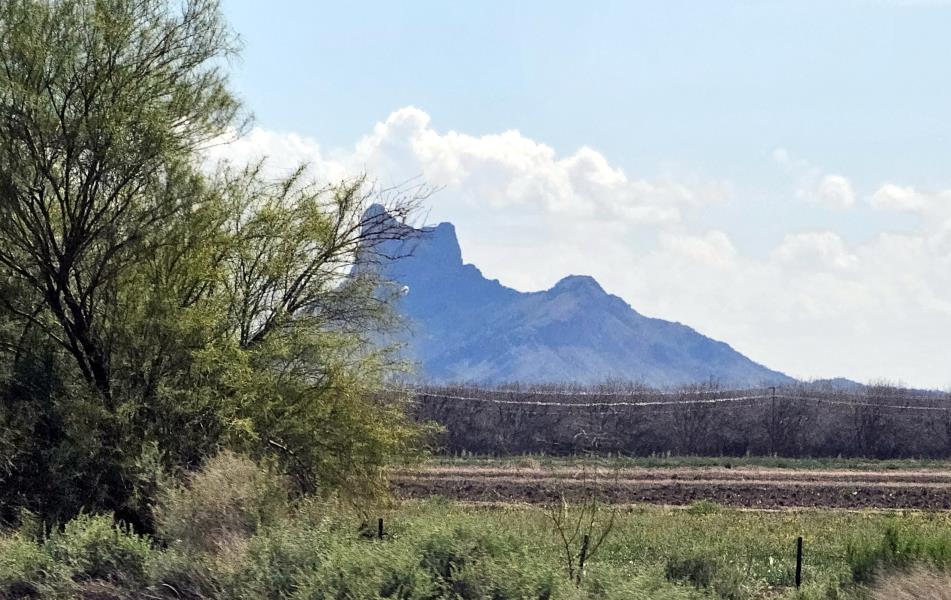
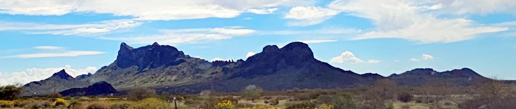
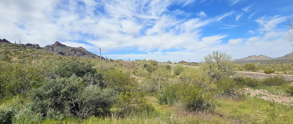
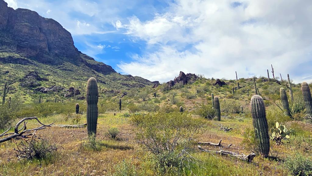
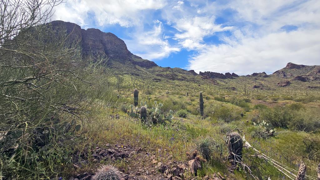
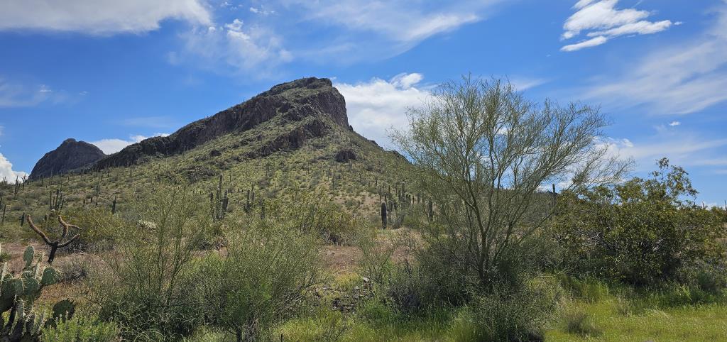
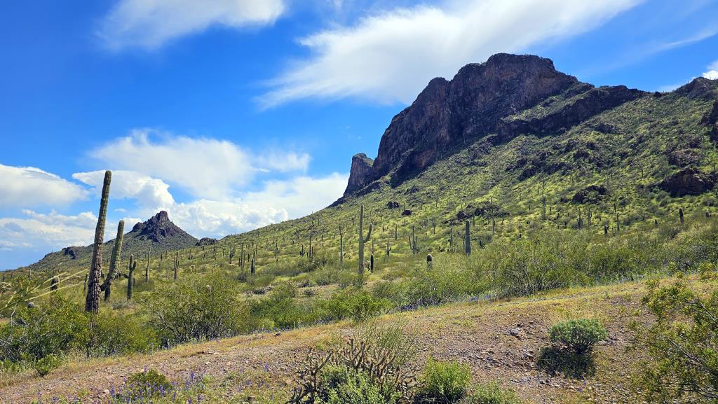
Driving east along I-10 towards Picacho Peak is quite the visual journey. As one travels, the distinctive shape of Picacho Peak begins to emerge on the horizon, standing tall and solitary against the sky. It’s like an Alice-in-Wonderland skyscraper made of melted rock, rising abruptly from the surrounding flat desert. The peak's unique profile is visible for miles, a beacon used as a landmark for thousands of years before I-10 was ever a thing.
Obviously, Native Americans were the first to know about it, using it as a point of reference in their travels across the region.
The peak's unique shape made it an ideal landmark. Later, Spanish explorers, including the Anza Expedition in the 1700s,
recorded the peak as they passed through the area. It was also around this time that the name Picacho,
which means peak in Spanish,
started to be used. (Which means its current name, Picacho Peak, actually means Peak Peak!
In the 1800s, the peak continued to serve as a key marker. The Mormon Battalion constructed a wagon road through Picacho Pass in 1846, and during the California Gold Rush in the 1850s, the Butterfield Overland Mail stagecoach route passed near the peak.
The most famous historical event associated with Picacho Peak occurred on April 15, 1862, during the Civil War. The Battle of Picacho Pass, the westernmost battle of the Civil War, took place near the peak when Union and Confederate forces clashed.
Picacho Peak State Park was established in 1968, after having been identified for state acquisition in 1958 due to its geological significance, diverse desert flora, and historical importance. It was officially designated as a state park in 1965 following strong local support and legislative authorization.
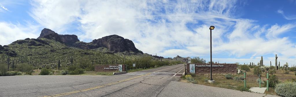
Plus, being a small park, the entrance fee was just $7 for everyone in my car. (Which was just me, but still a bargain!)
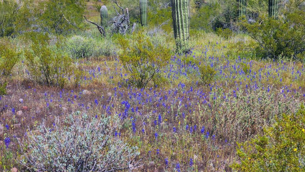
I was a little early, maybe by a week or two, for the expected annual superbloom
, when all the wildflowers
seem to blossom at once. Still, there were a lot of yellow brittlebrushes in bloom.
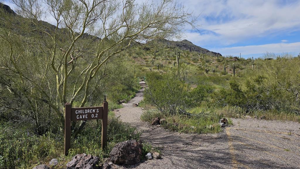
I had asked, when I entered the park, for the location of the easy half-mile nature hike. The ranger said to turn
left. I discovered later that I missed the left I was supposed to take, and took the next one. When I
saw the sign for Children's Cave
I figured that was the nature trail, or at least a simple one, that
I could manage.
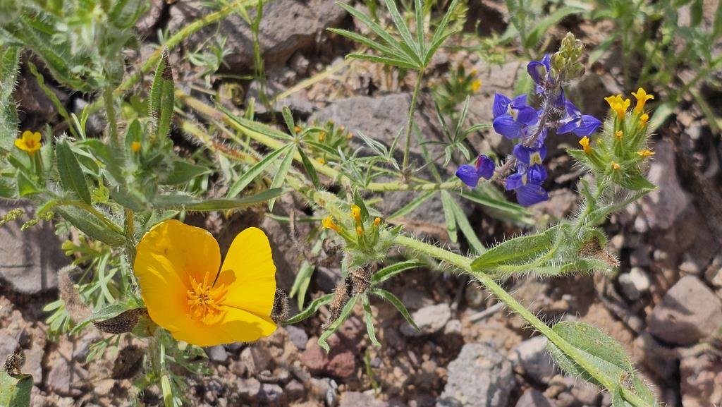
The yellow flowers currently in bloom at Picacho Peak are Mexican gold poppies, which are known for their vibrant yellow color and are a common sight during the superbloom. The purple flowers are lupines, which add a beautiful contrast to the yellow poppies with their rich purple hues. (Plus, I've always been partial to purple flowers.) These flowers together create a stunning display that draws visitors from all around. Indeed, even though I was visiting on a Monday, there were quite a few other visitors. Not many; it wasn't crowded. I just wasn't alone.
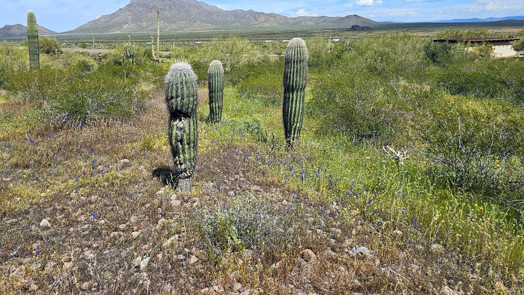
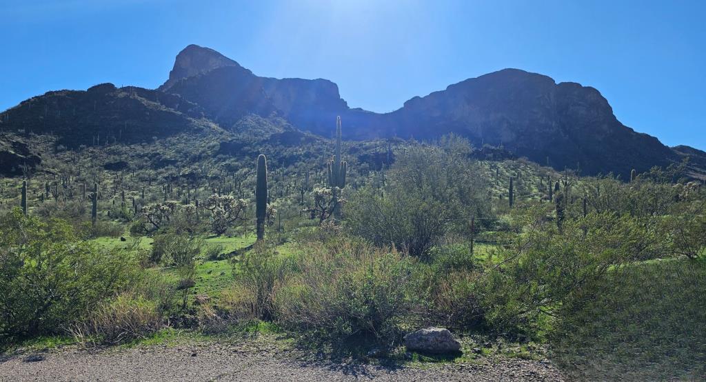
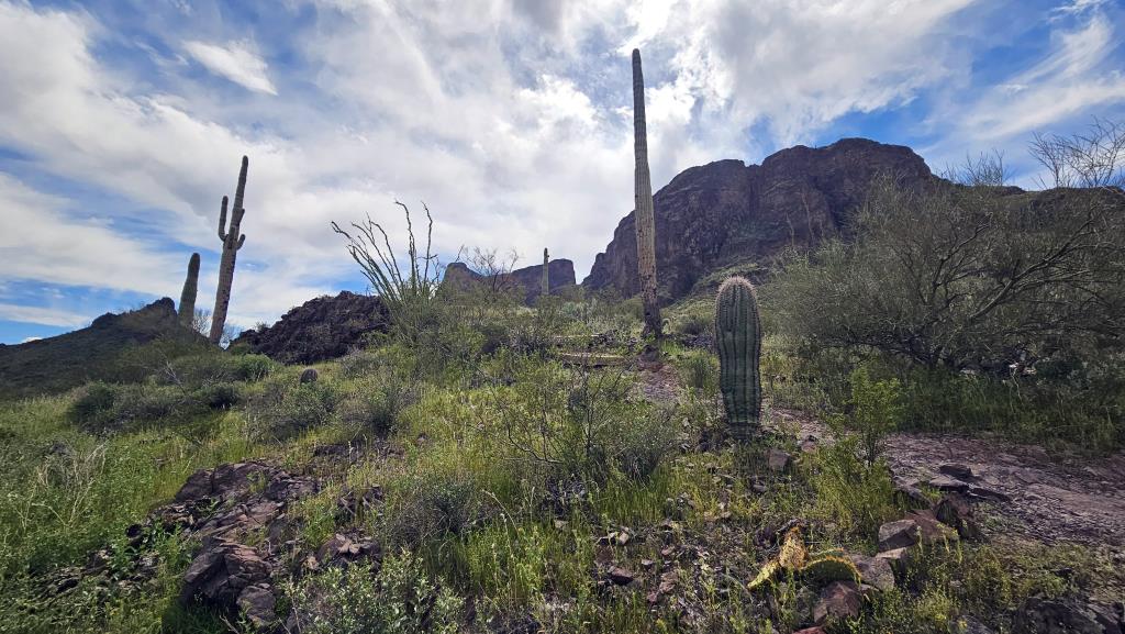
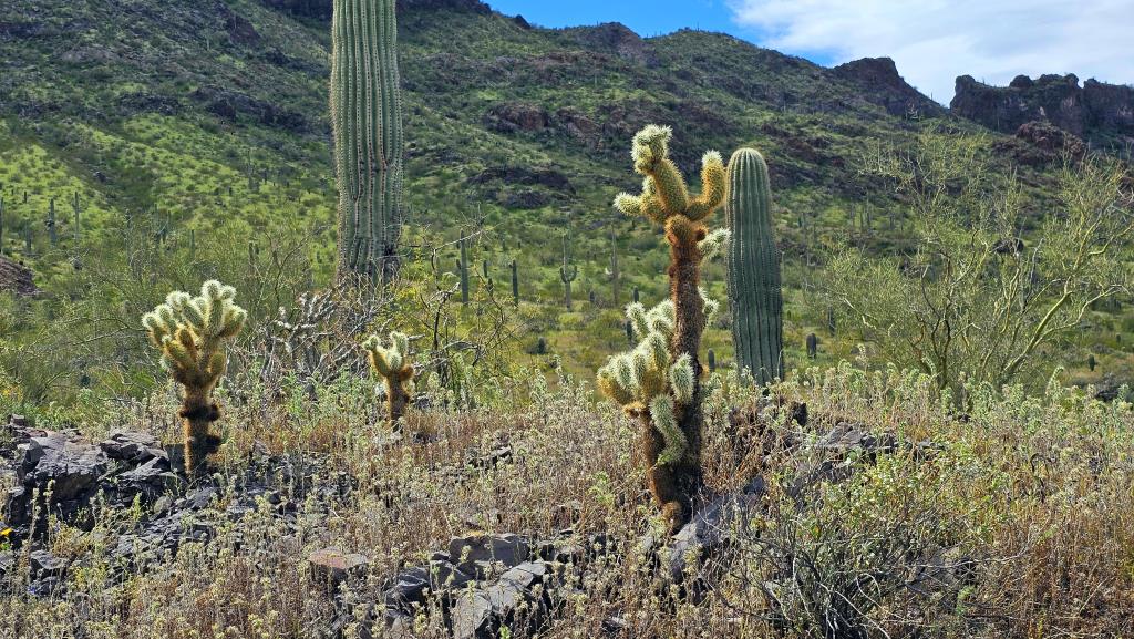
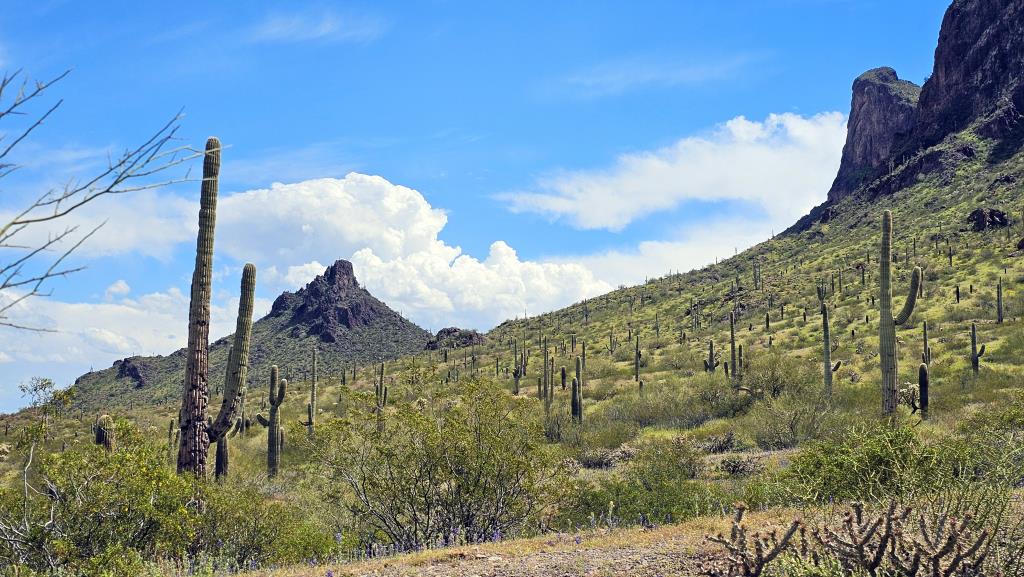
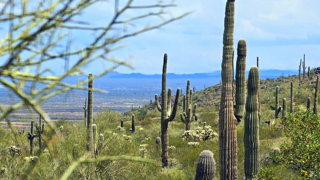
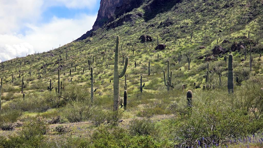
The slopes of Picacho Peak are adorned with the iconic saguaro cactus, standing tall like sentinels of the desert. These majestic plants, which can live for over a century, are synonymous with the Arizona landscape. With their thick, waxy skin and ribbed bodies, they’re designed to thrive in the arid climate, storing water to survive the scorching summers. In a few weeks they will bloom with white flowers, adding a touch of elegance to the rugged terrain that I hope to catch when it happens.
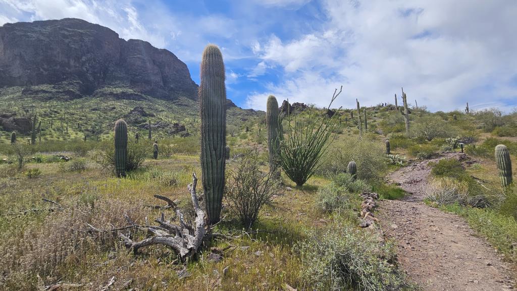
Since this was not, in fact, the old folks' nature trail I had aimed for, it turned out to be a bit steep. Not for the few people who passed me as I tried to climb up steps they bounded over! But I managed.
 a
a
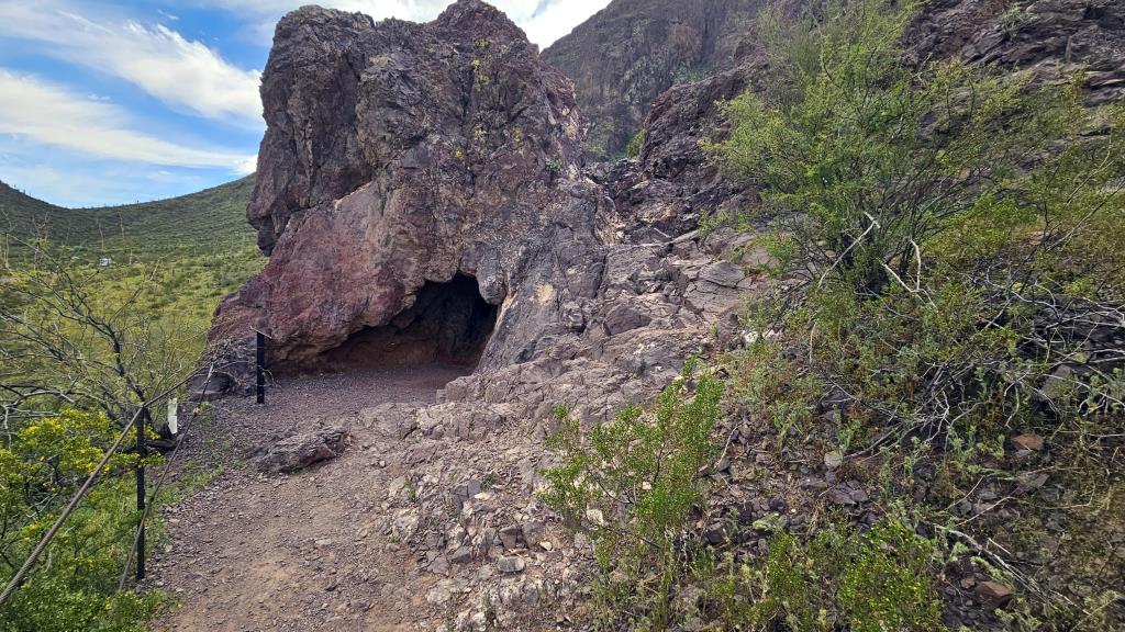
The payoff from this very short loop hike is the Children's Cave
at its end.
The Children’s Cave is a delightful spot for family hiking. It’s located on a small
hill at the end of a short, easy trail
that’s just 0.16 miles one way. The
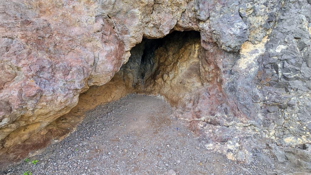
cave itself is a shallow nook, just tall enough for an adolescent to walk in without ducking.
Along the trail, there are informative signs, and nearby, there’s a playground with unique
swings and several pavilions for picnics. It's a perfect little adventure for those with young
children or for anyone looking for a light stroll with a bit of exploration.
Maybe less so for someone awaiting a new hip, but I lived to tell the tale, so
there's that!
Think of Picacho Peak as a giant layer cake made by nature. Between 10 and 25 million years ago,
volcanoes in the area erupted and spilled lava over the land. This lava cooled down and formed
hard rock layers. Over millions of years, more eruptions happened, adding more layers to the cake.
Now, imagine a huge slice of this cake being lifted up at an angle: That's Picacho Peak.
The frosting
on top, or the outermost layer, is made of rocks called basalt and andesite,
which came from the cooled lava of those ancient volcanoes. The cake
underneath has different
types of granite, which is another kind of rock that formed deep inside the Earth and got
pushed up to the surface.
So, when you look at Picacho Peak, you’re seeing the results of a lot of volcanic activity that happened a very long time ago, and the forces inside the Earth that lifted and tilted these layers to create the peak we see today. It’s like a history book of the Earth’s past, written in rocks!
And then I spotted a huge bird wafting along in the air currents, and took about 30 seconds of video of it.
We have both eagles and condors in the area, but this was a California Condor, which are much larger than eagles, with a massive wingspan. They are primarily scavengers, feeding on dead animals. They have a bald head that can vary in color, but unlike eagles, their bodies are mostly black.
If the bird you see is soaring with minimal flapping and has a very broad wingspan, it's likely to have been a condor. If it flies with powerful wingbeats and appears to be hunting or fishing, it is likely an eagle. Both are majestic birds, and spotting either is a treat for us nature lovers!
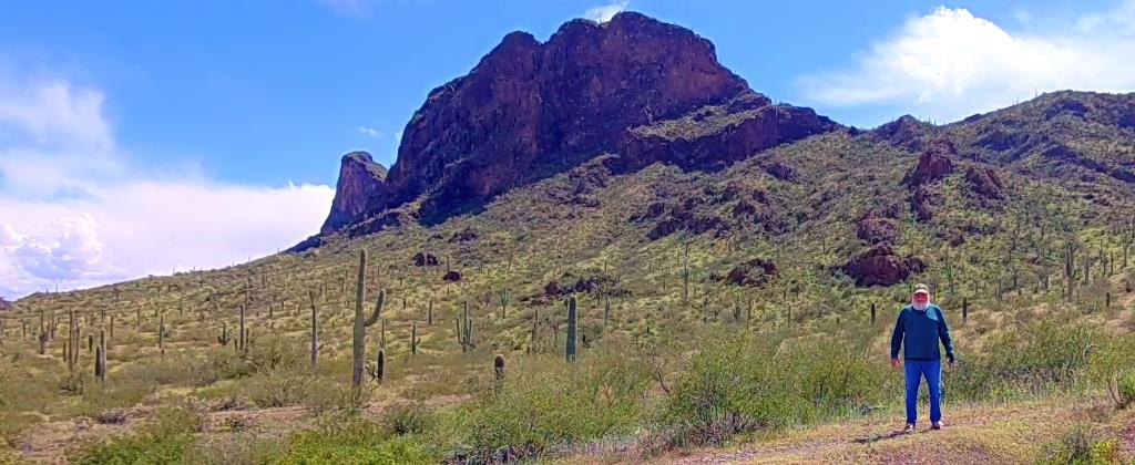
Then, since I had my Hover X1 camera with me, I let it do an orbit to prove I was really here!
I want to put a new banner photo on this here website thingie and thought I might be able to take one here. Here's the one I took. But I don't really like it that much, for composition reasons, so I'll just leave it here.